
2023-10-05, 16:00–17:30 (Europe/London), EURAC Seminar room 2 & 3
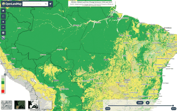
OpenLandMap is a not-for-profit open data system providing data and services to help produce and share the most up-to-date, fully documented (potentially to the level of fully reproducibility) data sets on the actual and potential status of multiple environmental variables. The layers include soil properties/classes, relief, geology, land cover/use/degradation, climate, current and potential vegetation, through a simple web-mapping interface allowing for interactive queries and overlays. This is a genuine Open Land Data and Services system where anyone can contribute and share global maps and make them accessible to hundreds of thousands of researchers and businesses. We currently host about 15TB of data including 1 km daily and monthly climatic products (min, max temperature and precipitation), map of potential natural vegetation, 250 m MODIS terra products, 100 m land cover and land use maps and soil properties, 30 m land cover maps and digital terrain parameters. We are inspired by de-centralized open source projects such as Mastodon, OpenStreetMap, and OSGeo projects including the R project for statistical computing.
Presenters will demonstrate how to access the OpenLandMap STAC, how to further use and extend layers, how to prepare layers for OpenLandMap and test them locally, and then also include in the interface / web-hosting. Some code examples in R and Python will demonstrate that the data is available for distributed computing; support channels allow for open development communities with most of discussion running via https://github.com/openlandmap/spatial-layers/.
References:
- Hengl, T., Collins, T.N., Wheeler, I. & MacMillan, R.A. (2019, March 27). Everybody has a right to know what’s happening with the planet: towards a global commons. Medium (Towards Data Science), http://doi.org/10.5281/zenodo.2611127
- Hengl, T., Walsh, M. G., Sanderman, J., Wheeler, I., Harrison, S. P., & Prentice, I. C. (2018). Global mapping of potential natural vegetation: an assessment of machine learning algorithms for estimating land potential. PeerJ, 6, e5457. https://doi.org/10.7717/peerj.5457
OEMC Grant agreement ID: 101059548

Director @ OpenGeoHub Foundation
Visiting address: Agro Business Park 10, 6708PW Wageningen, NL
Tel: +31 (0)317 427537
Url: https://opengeohub.org/about
Mastodon: https://fosstodon.org/@opengeohub
Twitter: https://twitter.com/opengeohub
Medium: https://opengeohub.medium.com/
TIB: https://av.tib.eu/publisher/OpenGeoHub_Foundation
https://www.youtube.com/c/OpenGeoHubFoundation
Publications: http://scholar.google.com/citations?user=2oYU7S8AAAAJ