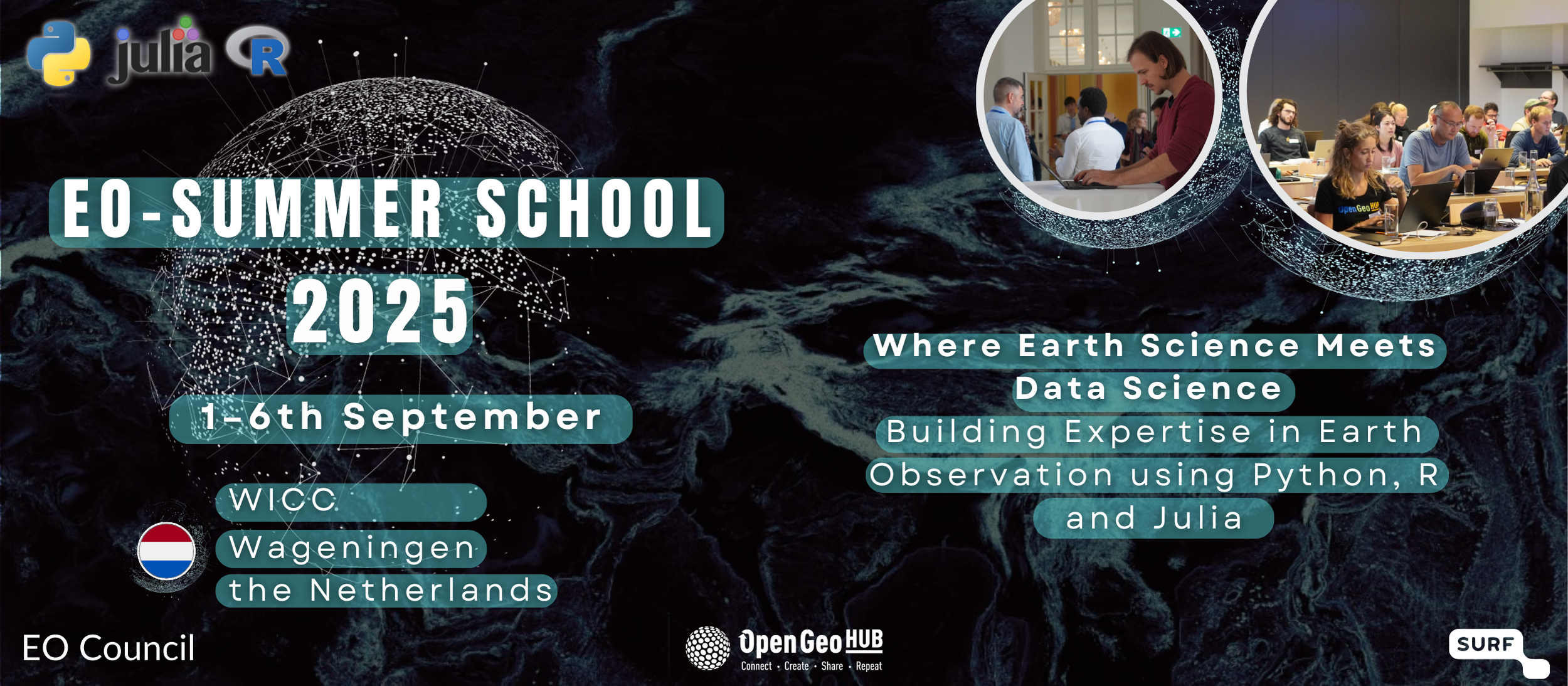
2025-09-01, 13:30–15:00 (Europe/Amsterdam), Expert Room 2
This practical workshop will introduce participants to the basics of acquiring and processing satellite data using the R programming language, with a focus on the popular terra and rstac packages.
The workshop is designed for beginners with some very basic R knowledge who want to incorporate remote sensing data into their research. Participants will learn how to search, access, and download satellite imagery from various providers through the SpatioTemporal Asset Catalog (STAC) using the rstac package and how to handle spatial data using the terra package, including reading and writing data, raster processing and visualization techniques.
Through hands-on exercises, participants will gain experience working with real satellite datasets and creating efficient and reproducible workflows. Ultimately, the knowledge and skills learned during the workshop will help use these data and processing methods for own research or projects.
Automatic acquisition and processing of satellite data in R using rstac and terra
Other links:
https://drive.google.com/file/d/1wcn3c63moIFeaG0Tnr-Yo-JtoROWWJLD/view?usp=drive_link
https://drive.google.com/file/d/1iBylfHF_o-fLXr6LwOautpu08DWJK1an/view?usp=drive_link

I recently defended my PhD thesis on using machine learning methods to analyze geospatial data. I'm now a senior lecturer at Adam Mickiewicz University in Poznan (Poland). I'm interested in remote sensing (especially in agriculture) and programming in R.