
2024-10-02, 18:45–18:50 (Europe/Lisbon), Foyer
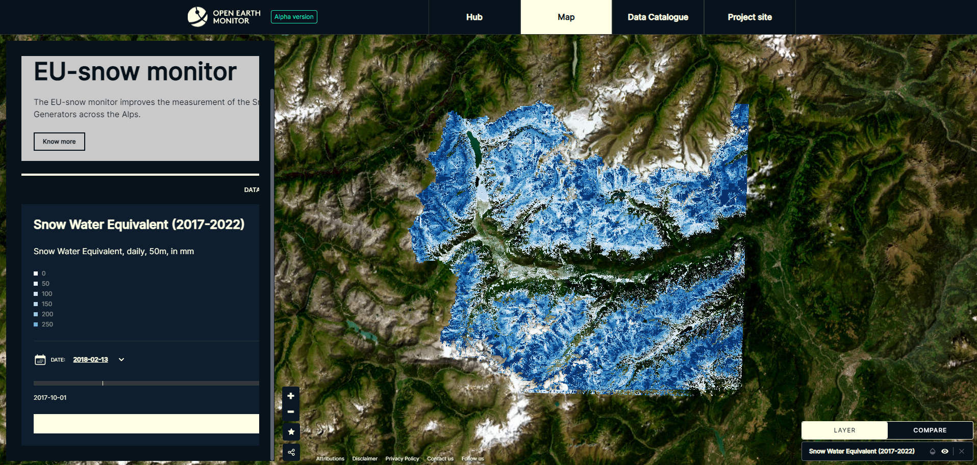
Hydrological planners need accurate and up-to-date information on snow dynamics. The OEMC project aims to improve the measurement of the Snow Water Equivalent as an estimation of the available water stored in snow covered areas in the Alps to support planning activities such as hydropower, agriculture and drinking water. To reach this objective high spatial and temporal information is required. Several remote sensing sensors exist with different spatial and temporal resolutions and hence different potentiality. To produce optimal results, an integration of different data sources is necessary. This requires large computational resources as well as huge data amounts. In this context, standardized cloud processing APIs such as OpenEO serve as powerful processing tools that can promote openness and reproducibility. In this talk we will present how we exploited cloud native EO to improve the development of snow products, such as snow cover fraction and snow water equivalent maps.
Open-Earth-Monitor Cyberinfrastructure (Grant agreement ID: 101059548)

Valentina Premier received her Ph.D. degree in information engineering and computer science at the University of Trento, Trento, Italy within the Remote Sensing Laboratory and with Eurac Research, Bolzano, Italy, within the Institute for Earth Observation. She is working on snow water equivalent retrieval by using remote sensing data.