
2023-10-05, 13:45–15:15 (Europe/London), EURAC Conference Hall
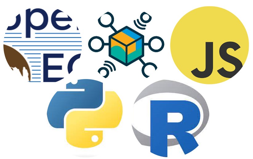
openEO develops an open API to connect R, Python, JavaScript and other clients to big Earth observation cloud back-ends in a simple and unified way.
openEO Platform implements the openEO API in an federated cloud platform. Hence, it allows to process a wide variety of earth observation datasets in the cloud.
Users interact with the API through clients. This demonstration shows the usage and capabilities of the main clients: The Web Editor, the Python Client and the R-Client.
The Web Editor is a webtool to interactively build processing chains by connecting the openEO processes visually. This is the most intuitive way to get in touch with openEO Platform.
The Python Client and the R-Client are the openEO Platform entry point for programmers. The are available via Comprehensive R Archive Network (CRAN). They facilitate the interaction with the openEO API within the respective programming languages and integrate the advantages of the available geospatial packages and typical IDEs.
The classroom training teaches users how to accomplish their first a round trip through a typical openEO Platform workflow: login to openEO Platform, data and process discovery, process graph building adapted to common use cases, processing of data and the visualization of results
By combining the approaches of the visually interactive Web Editor and the programming based clients users are introduced stepwise to the concepts of openEO Platform and will gradually understand the logic behind openEO.
This is a hands on course. Bring your laptop and get ready to participate.
OEMC Grant agreement ID: 101059548

I'm a geographer with a focus on geoinformatics, remote sensing and their application to environmental applications - which should be barrierfree and open source.
Providing, optimizing and automizing remote sensing and gis workflows and tools.
Setting up scalable computing environments.
Working on big earth observation data cloud infrasturctures.
Helping to bring research results into an easily accessible and digestible format.